China Scenery 4. 中國景物4
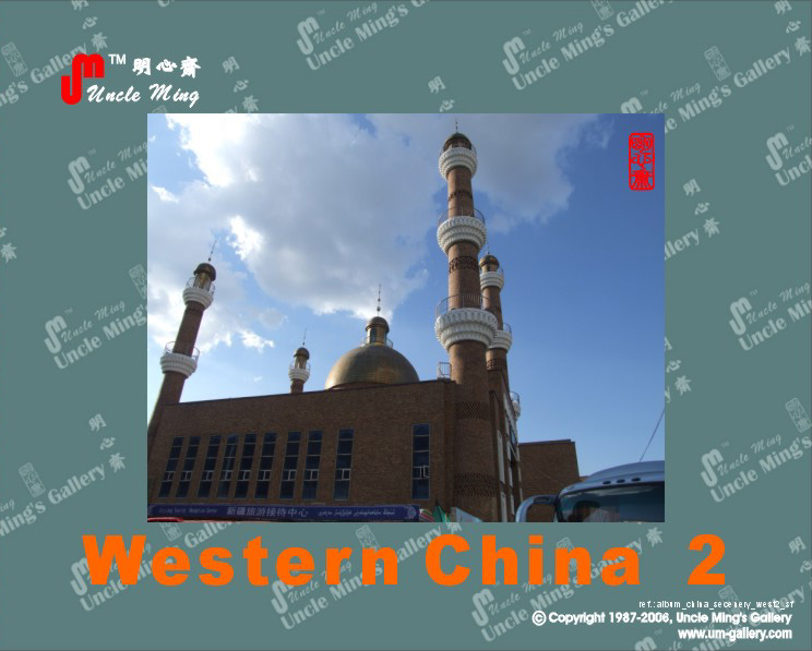
Western China 華西
中國四大經濟地理區
- 重慶市
- 四川省
- 雲南省
- 貴州省
- 陝西省
- 青海省
- 甘肅省
- 寧夏回族自治區
- 新疆維吾爾族自治區
- 西藏自治區
- 廣西壯族自治區
- 內蒙古自治區
- 吉林省延邊朝鮮族自治州
- 湖北省恩施土家族苗族自治州
- 湖南省湘西土家族苗族自治州
中國西部地形複雜,氣候類型多樣,為不同的植物生長和野生動物棲息創造了良好條件,擁有豐富的生物資源。此外,西部礦產資源、水利資源、旅遊資源、人文資源也極其豐富。
西部12省市區面積約672萬平方公里,佔中國國土面積70%,人口約3.3億,約佔全國總人口的25%,但GDP僅佔中國大陸的13%。如何處理西部問題,已成為中國的最大挑戰之一。
Recommendation 特別推介
2011 Tibet 1 西藏 1Photograph by S K Wong |
||||||||||||||||
2011 Tibet 2 西藏 2
Photograph by E S F Wong
The Tibet Autonomous Region (TAR), Tibet or Xizang for short, also called the Xizang Autonomous Region (Chinese: 西藏自治区) is a province-level autonomous region of the People's Republic of China (PRC). It was created in 1965 on the basis of an administrative region which had been incorporated into the PRC in 1951. Within the People's Republic of China, Tibet is identified with the Autonomous Region, which includes about half of ethno-cultural Tibet, including the traditional provinces of Ü-Tsang and the western half of Kham. The borders of the present Autonomous Region coincide roughly with the actual zone of control of the then-government of Tibet in 1950. The Tibet Autonomous Region is the second-largest province-level division of China by area, spanning over 1,200,000 square kilometres (460,000 sq mi), after Xinjiang, and due to its generally harsh terrain, is the least densely populated provincial-level division of the PRC. The Tibet Autonomous Region is located on the Tibetan Plateau, the highest region on earth. In northern Tibet elevations reach an average of over 4,572 metres (15,000 ft). Mount Everest is located on Tibet's border with Nepal. The Chinese provincial-level areas of Xinjiang, Qinghai and Sichuan lie to the north, northeast, and east, respectively, of the Tibet AR. There is also a short border with Yunnan province to the southeast. The PRC has border disputes with the Republic of India over the McMahon Line of Arunachal Pradesh, known to the Chinese as "South Tibet". The disputed territory of Aksai Chin is to the west, and its boundary with that region is not defined. The other countries to the south are Myanmar, Bhutan and Nepal. Physically, the Tibet AR may be divided into two parts, the "lakes region" in the west and north-west, and the "river region", which spreads out on three sides of the former on the east, south, and west. Both regions receive limited amounts of rainfall as they lie in the rain shadow of the Himalayas, however the region names are useful in contrasting their hydrological structures, and also in contrasting their different cultural uses which is nomadic in the lake region and agricultural in the river region.[8] On the south the Tibet AR is bounded by the Himalayas, and on the north by a broad mountain system. The system at no point narrows to a single range; generally there are three or four across its breadth. As a whole the system forms the watershed between rivers flowing to the Indian Ocean – the Indus, Brahmaputra and Salween and its tributaries – and the streams flowing into the undrained salt lakes to the north. The lake region extends from the Pangong Tso Lake in Ladakh, Lake Rakshastal, Yamdrok Lake and Lake Manasarovar near the source of the Indus River, to the sources of the Salween, the Mekong and the Yangtze. Other lakes include Dagze Co, Nam Co, and Pagsum Co. The lake region is an arid and wind-swept desert. This region is called the Chang Tang (Byang sang) or 'Northern Plateau' by the people of Tibet. It is some 1100 km (700 mi) broad, and covers an area about equal to that of France. Due to its great distance from the ocean it is extremely arid and possesses no river outlet. The mountain ranges are spread out, rounded, disconnected, separated by flat valleys relatively of little depth. The Tibet AR is dotted over with large and small lakes, generally salt or alkaline, and intersected by streams. Due to the presence of discontinuous permafrost over the Chang Tang, the soil is boggy and covered with tussocks of grass, thus resembling the Siberian tundra. Salt and fresh-water lakes are intermingled. The lakes are generally without outlet, or have only a small effluent. The deposits consist of soda, potash, borax and common salt. The lake region is noted for a vast number of hot springs, which are widely distributed between the Himalaya and 34° N., but are most numerous to the west of Tengri Nor (north-west of Lhasa). So intense is the cold in this part of Tibet that these springs are sometimes represented by columns of ice, the nearly boiling water having frozen in the act of ejection. The river region is characterised by fertile mountain valleys and includes the Yarlung Tsangpo River (the upper courses of the Brahmaputra) and its major tributary, the Nyang River, the Salween, the Yangtze, the Mekong, and the Yellow River. The Yarlung Tsangpo Canyon, formed by a horseshoe bend in the river where it flows around Namcha Barwa, is the deepest, and possibly longest canyon in the world.[9] Among the mountains there are many narrow valleys. The valleys of Lhasa, Shigatse, Gyantse and the Brahmaputra are free from permafrost, covered with good soil and groves of trees, well irrigated, and richly cultivated. The South Tibet Valley is formed by the Yarlung Zangbo River during its middle reaches, where it travels from west to east. The valley is approximately 1200 kilometres long and 300 kilometres wide. The valley descends from 4500 metres above sea level to 2800 metres. The mountains on either side of the valley are usually around 5000 metres high.[10][11] Lakes here include Lake Paiku and Lake Puma Yumco. 西藏自治區,藏語拼音:Poi Ranggyong Jong),簡稱藏,通稱西藏,為中華人民共和國西南邊疆的一個自治區(省級行政單位),自治區位於青藏高原上,首府是拉薩市。
以上為西藏的史詩傳說,描述的是世界第一高峰「聖母峰」之由來。與藏族先祖的傳說相對照下,距今兩億年前,本區原為一片汪洋大海,兩千多萬年前始在古喜馬 拉雅山造山運動中大幅崛起,形成今日的高原地貌。西藏為青藏高原的一部份;青藏高原,面積約250萬平方公里,佔中國總面積的四分之一,平均高度在海拔 4000公尺以上,是全球最高最大的高原,素有「世界屋脊」之稱。 高原上,日溫差甚大,所謂「一年無四季,一日見四季」正是形容年日溫差變化最佳的寫照。西藏高原地區遼闊,擁有豐富的能源,其中尤以太陽能、水力、地熱三 者為最。西藏太陽能為全中國最豐富之地區。拉薩,即因年日照數在3000小時以上,而有「日光城」之稱。高原之上,亦為中國各大河流之發源地,如長江、黃 河、雅魯藏布江、瀾滄江、怒江等,水力蘊藏量為中國第一。 (Source: wikipedia)
|
||||||||||||||||
2010 Guizhou 貴州
|
||||||||||||||||
2009 Marvelous Natural Scenery in Southwest China2009中國西南自然奇觀The scenery here is parallel to the great canyon in America. Thousands of photos organized in two albums were taken for recording the great work of nature. 媲美美國大狹谷的自然奇景, 令人驚嘆大自然的鬼斧神工, 不覺間攝下上千張照片 |
||||||||||||||||
|

